A location-driven industryAgriculture and Food
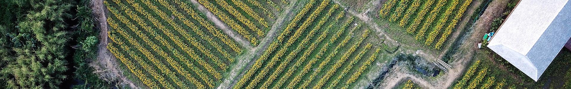
A powerful birds-eye view of farm operations
Agriculture is by nature a location-driven industry. Understanding location-based data, including changing climate, varying soil conditions, changes to the cost of input and the price on the market is critical to farmers who aim to maximise the productivity and efficiency of their operations.
In particular, Earth Observations can help agricultural enterprises make better decisions by identifying patterns in agricultural data not visible elsewhere, providing a valuable birds eye view of crops and fields so that farmers can identify areas of importance and act quickly.
Precision Agriculture at Scale
The agriculture industry is increasingly technology-driven as farmers install more sensors and use GPS-guided equipment. Manual parts of the job, like soil sampling, are also being made more accurate and repeatable with the use of cloud technology.
Earth observation methods help farmers analyse and detect anomalies in their crops, observe biomass across their farm and makes reaction times quicker if crop health changes are detected.
Technology helps producers tackle climate change impact
The effect of natural disasters such as floods, drought and cyclones have devastating impacts on Ag producers. However, need effective and simplistics tools to plan for and combat the consequences of these natural events.
Monitoring and understanding the impact of natural weather events, pollution and increasing energy requirements is valuable to producers and necessary for long term access to food for all.
Earth Observation solutions such as satellite imagery, ground-based measurements and surveys provide agricultural producers with the tools they need to transform their monitoring practices and better manage their resources.
Combining earth observations content and technology with farmers-own data provides a formidable tool for preparedness when unexpected events take place.
Decipher: Farm Analysis App
In 2017, Wesfarmers through their subsidiary CSBP Limited launched the startup Decipher, which is taking one of the most exciting digital innovations in agriculture to the world. Decipher delivers high performing and intuitive digital precision Ag products based on an enormous amount of experience and collective intellectual property in the Wesfarmers group. Decipher products have been designed by growers for growers. The aim of decipher is to put data to work to show land and productivity using a range of insights.
EO Data Science, through its parent company NGIS, provided the mapping capability to measure the biomass of crops using Google Earth Engine technology.
Read more
Foresty inventory
Provide full operational awareness by using multiple satellite imagery sources to provide daily plantation monitoring, end of month reporting, climate analysis and harvest analytics. Combine drone capture with the geographical scale provided by satellite imgaery.
Crop monitoring
Monitor vegetation health using a range of satellite products and advanced algorithms for in season analytics, post season analysis, historical trending and regional benchmarking.
Machine learning
Use enormous archives of data and cloud technology to perform large scale machine learning for
- Crop types
- Yield forecasting
- Biomass modelling
- Pest and disease prediction
- Weed detection and
- Water management
let's
talk about your agriculture project
EO Data Science loves to look at the world from space to answer questions about our planet, but we can also help you get the information you need to transform your business or reach your organisational goals. Get in touch with us to collaborate on your next project!
Get in touch
Learn More
Quicklinks
Our office
Eastpoint Plaza, Suite 5.01, Level 5, 233 Adelaide Terrace, Perth WA 6000, Australia