Data value is no longer in pixels, it is in insights.
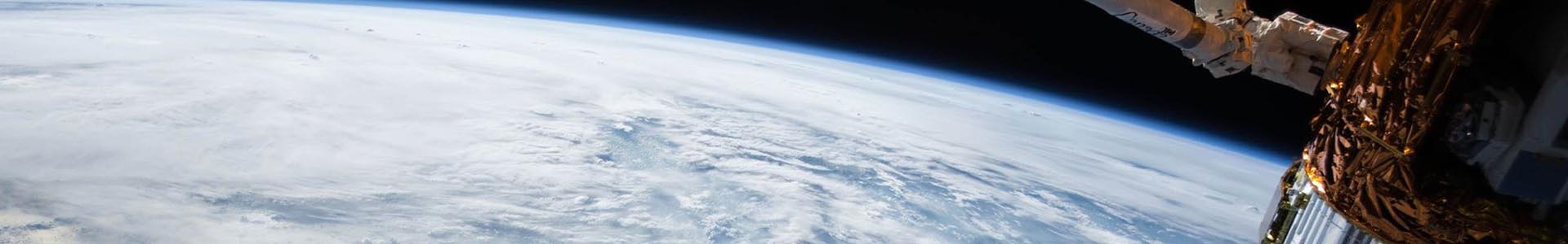
Earth Observation practices lend themselves to an array of information and data that is used to improve the well-being of the planet. Earth Observations methods can help us monitor ocean currents, track land temperature, salinity levels, detect changes in air quality and rainwater, and estimate the population and coverage of flora and fauna.
Technology such as micro-satellites are providing enormous amounts of data, disrupting the traditional business of selling pixels.
By leveraging remote sensing capabilities and scalable Cloud technology, EO Data Science transforms pixels into insights for organisations looking to implement large data sources in their applications and address specific outcomes.
Earth Observations can help us create a better, more sustainable world.
We care about making a positive impact in the world. We use software and data to tackle issues such as sustainable development, biodiversity and conservation, preservation of Indigenous rights and interests, climate change and disaster risk reduction.
EO Data Science Initiatives include:

At EO Data Science, our mandate is to harness the power of what we can see, learn and know from space to help organisations enact positive change.
- Nathan Eaton, Executive Director at EO Data Science
Why Earth Observations?
Humans are a powerful force on the Earth, both negatively and positively. Earth Observations provide a vehicle to assess and mitigate the impacts we make on the planet. Moreover, Earth Observations and Data Science provide opportunities for organisations to operationalise data to make informed data driven decisions.
The insights that can be gleaned from Earth Observations are particularly valuable for organisations that have operations, land holdings or interests that are geographically significant.
Markets that benefit from Earth Observations include; Agriculture and Food, Resources, Government, Environment, Finance and Insurance, and Utilities.
Scale and transform operations with EO Data Science
The combination of enormous satellite imagery archives with high performing cloud technology has opened doors for organisations to operationalise earth observations.
Cloud technology can enhance the capability of existing products and processes, or provide the opportunity to create new products built on scalable platforms.
With more data sources available the challenge that organisations face is how to effectively deliver insights and applications using a combination of different data. The focus of EO Data Science is to enable organisations to implement dedicated Earth Observation platforms that leverage fit-for-purpose content to provide scale, coverage and accuracy where required.
Data Science
With a dedicated team of data scientists, EO has the ability to migrate existing science to cloud technology or develop new science using advanced algorithms and machine learning.
The scale of cloud technology enables science to be deployed globally.
Read our Coastal Risk case study
Application development
EO Data Science specialises in designing, developing and implementing last mile applications that leverage leading Earth Observation technology.
Read our Decipher case study
Capacity building
Fit for purpose capacity building and outreach programs that include awareness raising campaigns, technical training, active mentoring, support helpdesk and project delivery for Earth Observation initiatives.
United Nations Lighthouse award for Coastal Risk
let's
talk about how EO Data Science can transform your business operations
Do you want to find out more about how Earth Observation mapping technologies can improve your business operations?
Get in touch with our team here.
Contact Us
Our office
Eastpoint Plaza, Suite 5.01, Level 5, 233 Adelaide Terrace, Perth WA 6000, Australia