Improving rice production with Paddy Watch
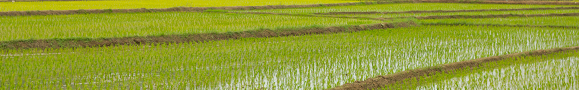
Rice is one of the most strategic commodities in the world. It is closely connected with food security, economic growth, employment, culture and regional peace. Although the world has made significant progress to improve rice production, countries where rice is a staple food still have no accurate way of knowing how much rice has been grown and how many tonnes can be harvested.
Google Earth,
Group on Earth Observations, the
University of Sydney, and
University Malaya Trengganu in Malaysia, have been working together to develop a groundbreaking new technology that will help to develop the first real-time monitoring platform for rice fields. The platform, named Paddy Watch, will use Google Earth Engine (GEE) to detect how much rice is grown, predict rice yield, inform water use and make decisions that will help countries reach the
Zero Hunger target of the United Nations 2030 Agenda.
In 2020, Paddy Watch was awarded grant funding and a two year support package through the
GEO-GEE program run by Google Earth Engine, GEO and EO Data Science.The EO Data Science team is providing $1 million in essential Google Earth Engine (GEE) training, support and billing capabilities to the Paddy Watch team.
Time consuming processes
Currently, there is no global standard for monitoring where rice is grown. The existing process for rice field estimation relies on field surveys that are time-consuming and inefficient.
The Paddy Watch team tried another survey method using MODIS satellite data to estimate rice-growing areas at a regional and national scale. The MODIS satellite provided coarse resolution imagery and was affected by cloud cover in many regions of the world. While this method does save time, it’s inaccurate and in some regions, unusable for monitoring rice fields.
Real-time mobile application
The Paddy Watch team decided to use GEE to build the first real-time mobile application that will allow farmers, agricultural scientists, non-government organisations (NGO’s) and government planners to manage land use and ensure food security in the world’s rice bowls.
The real-time land-use data generated using Google Earth is clearer and more reliable than other satellite data providers. This data will be verified by field operators in Malaysia, Indonesia, China, and Vietnam to allow the agricultural scientists to calibrate their monitoring methods and ensure its accuracy worldwide.
The GEO-GEE program will provide the Paddy Watch team with training and computing resources crucial in delivering these large datasets of monthly data to the field operators.
Improving rice yields globally
Paddy Watch will be the first high resolution near-real-time global rice field monitoring platform. Using GEE and radar imagery, Paddy Watch will provide accurate and up-to-date information to farmers and agricultural extension officers on how much rice has been planted and how much harvest can be achieved. This information is crucial to achieving global food and water security.
Scientists can use this information to develop research strategies that build healthy soils and increase yield in different environments. Further, teachers and lecturers can use these online resources to educate future generations about food production and the environment. Lastly, policymakers can use the maps to formulate data-driven policies and decisions around food security to boost local economic growth.
EO Data Science's role in the GEO-GEE program
EO Data Science partnered with
Google Earth Engine and the
Group on Earth Observations to launch the GEO-GEE Program in July 2020. 32 projects across 22 countries were selected for the program which offers $3 million USD towards product licenses and $1 million USD in technical support from EO Data Science to help operationalise their science as they strive to tackle the world’s biggest sustainable development challenges. So far EO Data Science has:
Conducted 38 Google Earth Engine training courses attended by 680 program participants
Resolved 105 support tickets with a live support desk
Organised five virtual meetups for projects across the world to exchange knowledge and network with one another
let's
talk about your agriculture project
EO Data Science loves to look at the world from space to answer questions about our planet, but we can also help you get the information you need to transform your business or reach your organisational goals. Get in touch with us to collaborate on your next project!
GET IN TOUCH
Our office
Eastpoint Plaza, Suite 5.01, Level 5, 233 Adelaide Terrace, Perth WA 6000, Australia